Route 66 highway photo from Chicago to Santa Monica

Chicago, ILSanta Monica, CA

The Mother Road.
Eight states. Endless stories.

2,400 miles down Route 66 from Chicago to Santa Monica, one town at a time. Eight states, hundreds of photos, and every neon sign, diner, and dusty roadside curiosity along the way.

About This Album

One week. 2,400 miles. Eight states of Route 66.

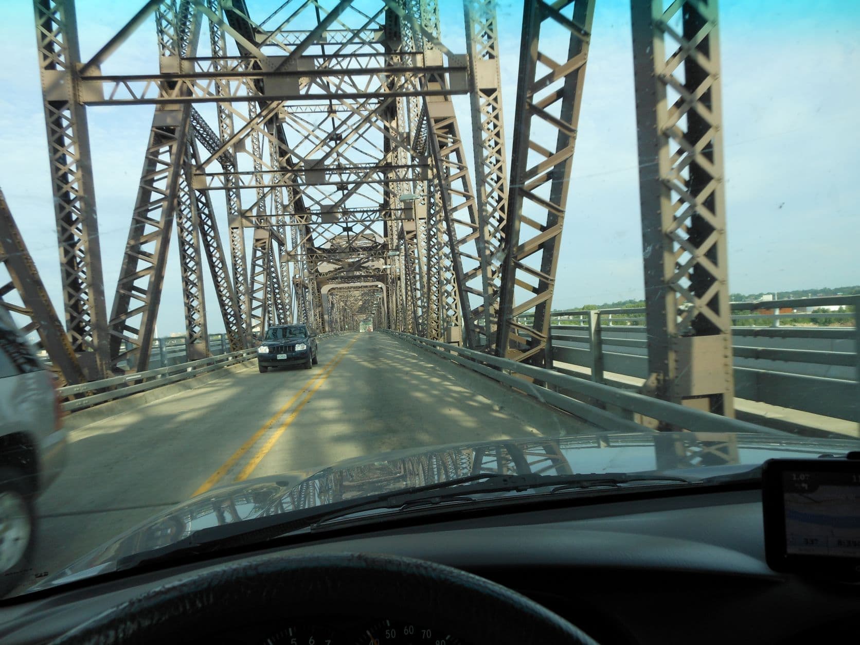
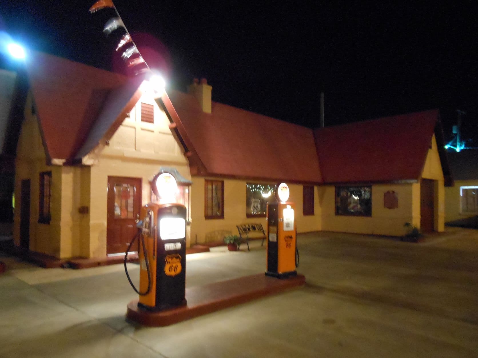
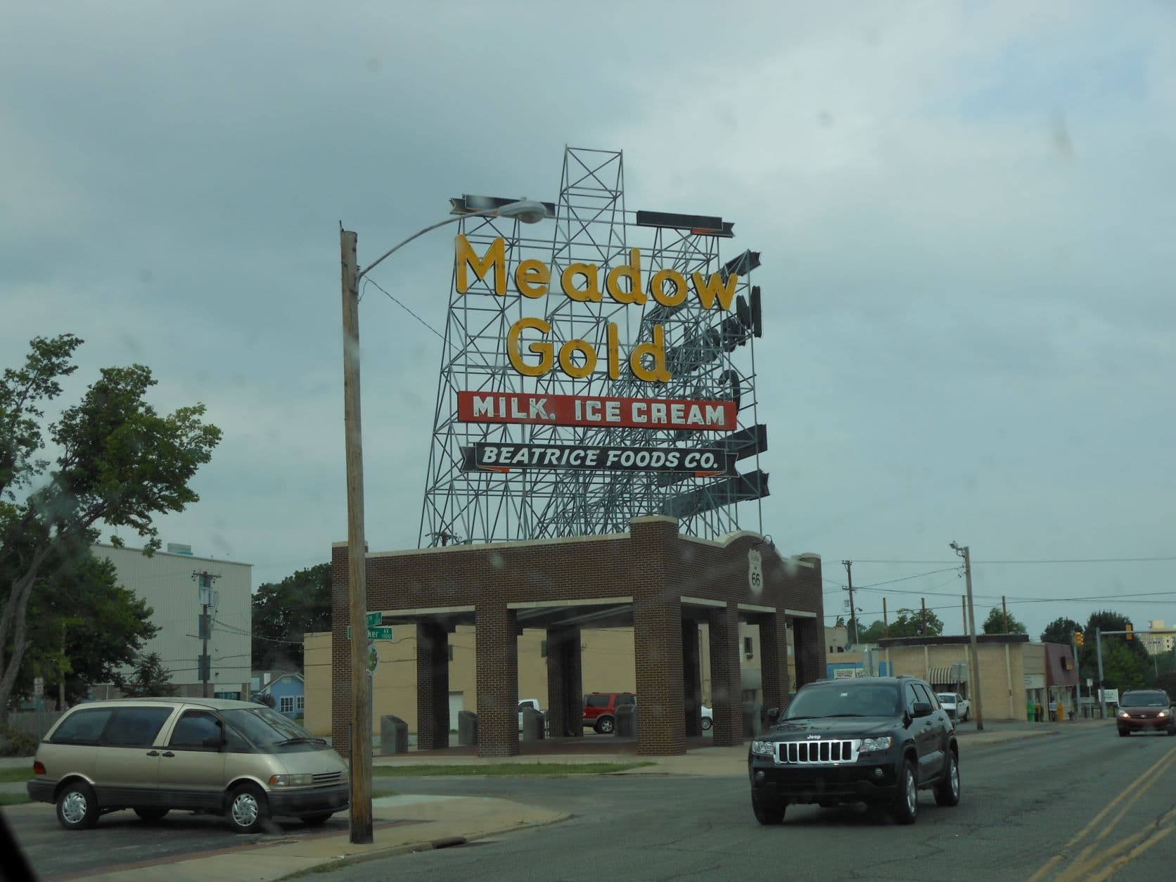
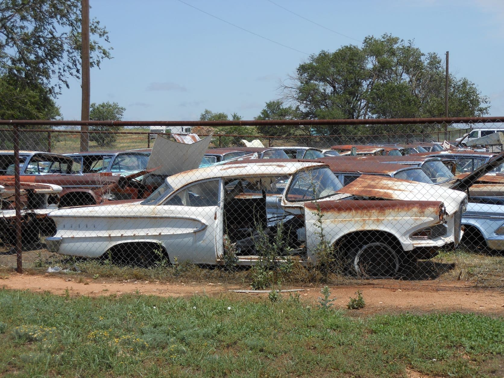
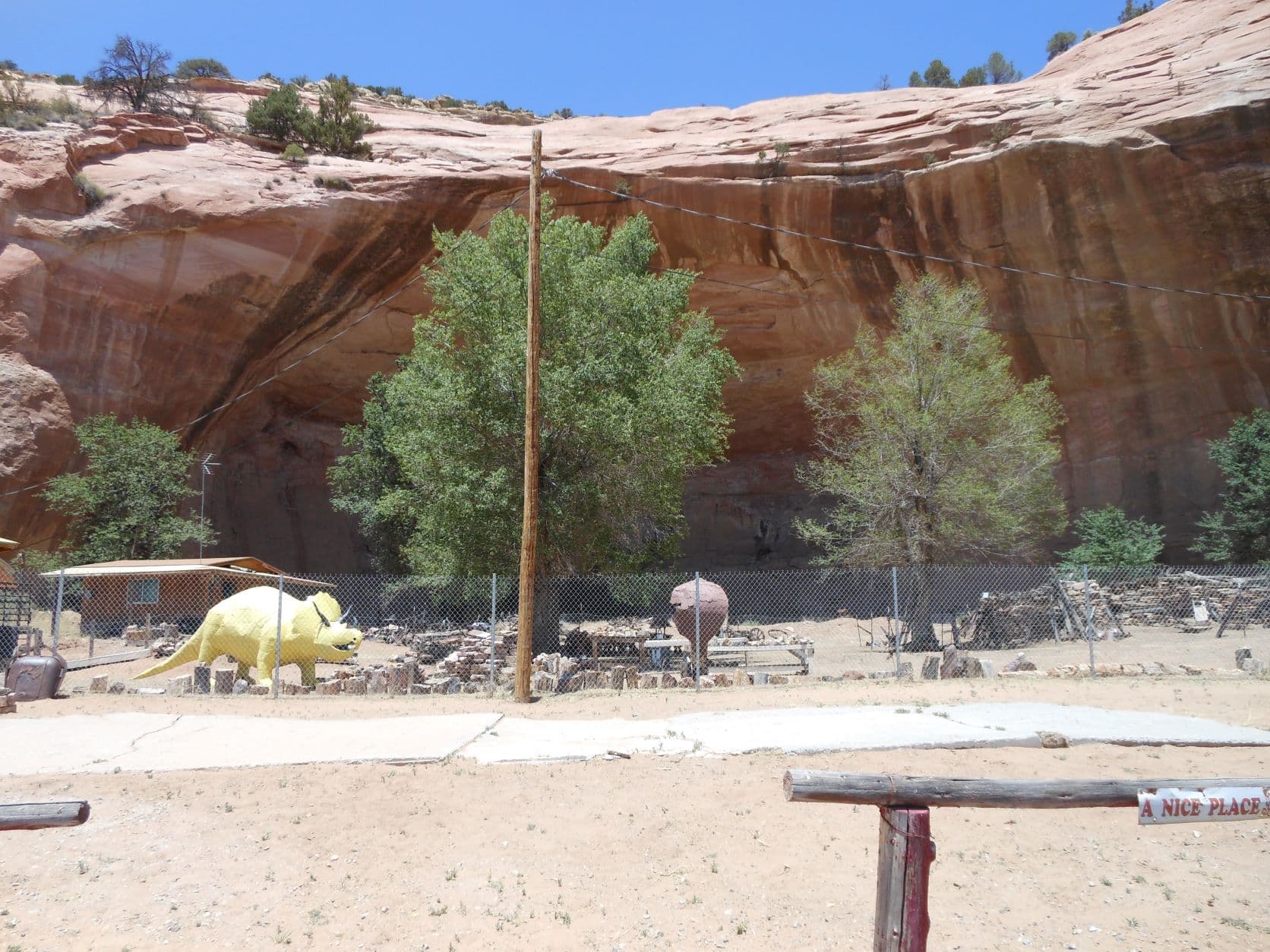
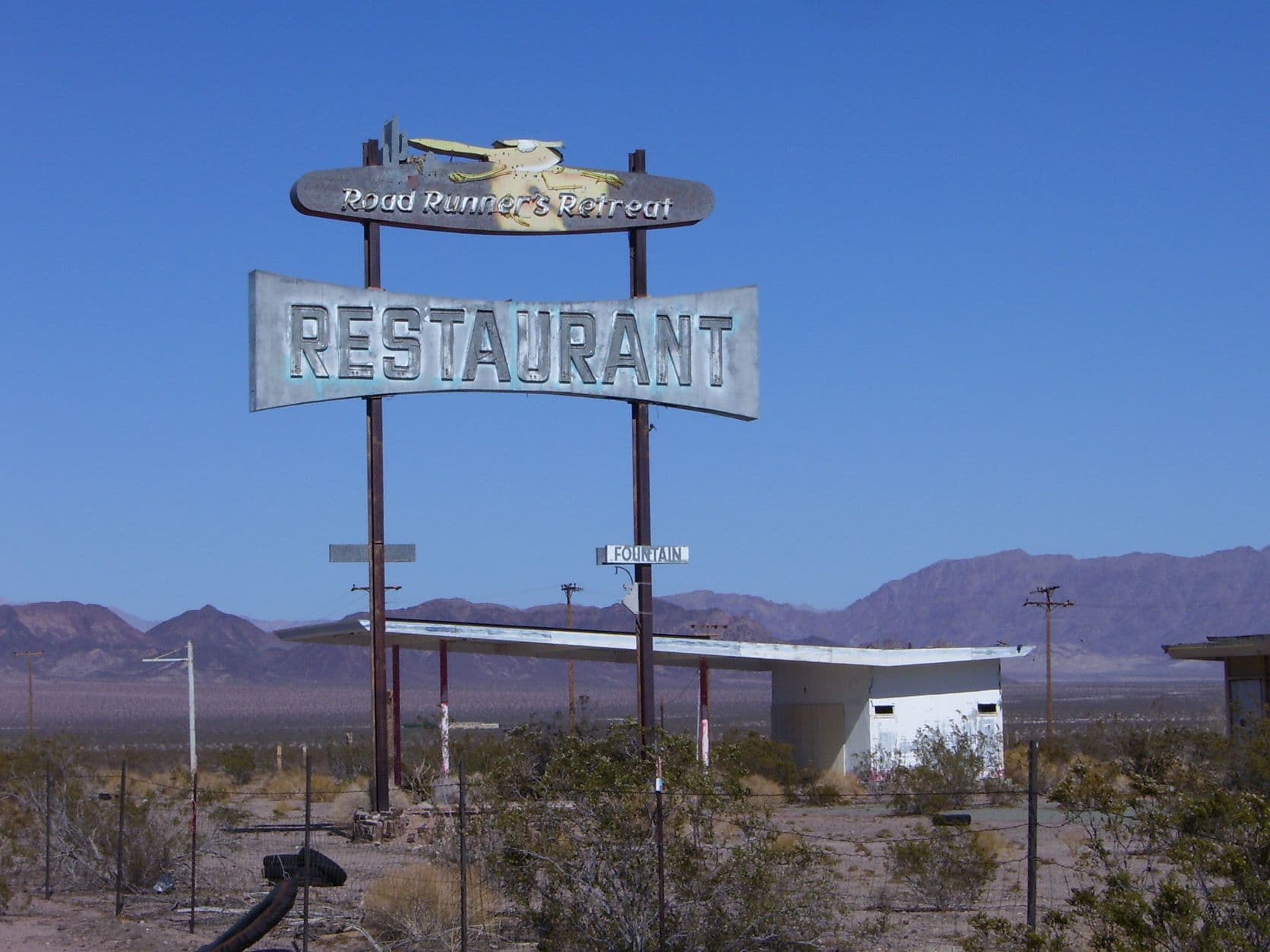
In 2012 I spent a week driving the full length of Route 66, from Michigan Avenue in Chicago, IL to the Santa Monica Pier in Santa Monica, CA. This Route 66 photo album documents that trip with images of small towns, neon signs, diners, and dusty roadside curiosities along the Mother Road.

Want to explore more? Browse other Route 66 albums below and continue the journey.

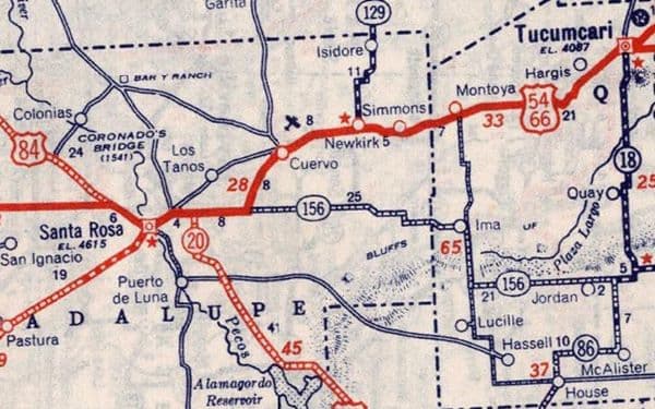
Vintage Route 66 map showing the historic highway route

Other Photo Albums

More travel albums from Ted are on the way - think national parks, cross-country drives, and weekend road trips beyond the Mother Road.
Future Photo Albums

Have a favorite stretch of highway or a trip you'd love to see documented? New albums are always in the works.

Plan your journey

Frequently asked questions

Route 66 is one of the original U.S. federal highways, established in 1926. It ran roughly 2,448 miles from Chicago, Illinois to Santa Monica, California, passing through eight states. It became a major path for westward migration and later a symbol of American road trip culture, earning nicknames including the Mother Road and Main Street of America.

The nickname comes from John Steinbeck's 1939 novel The Grapes of Wrath, in which he described Route 66 as the road migrants traveled during the Dust Bowl era to seek a new life in California.

It is a road trip photo album documenting a drive down the full length of Route 66, from Chicago, Illinois to Santa Monica, California—the Mother Road.

In 2012, Ted spent one week driving the entire 2,400-mile length of Route 66, from Michigan Avenue in Chicago to the Santa Monica Pier.

Hundreds, organized by state: 194 in Illinois, 112 in Missouri, 9 in Kansas, 58 in Oklahoma, 64 in Texas, 103 in New Mexico, 204 in Arizona, and 47 in California.

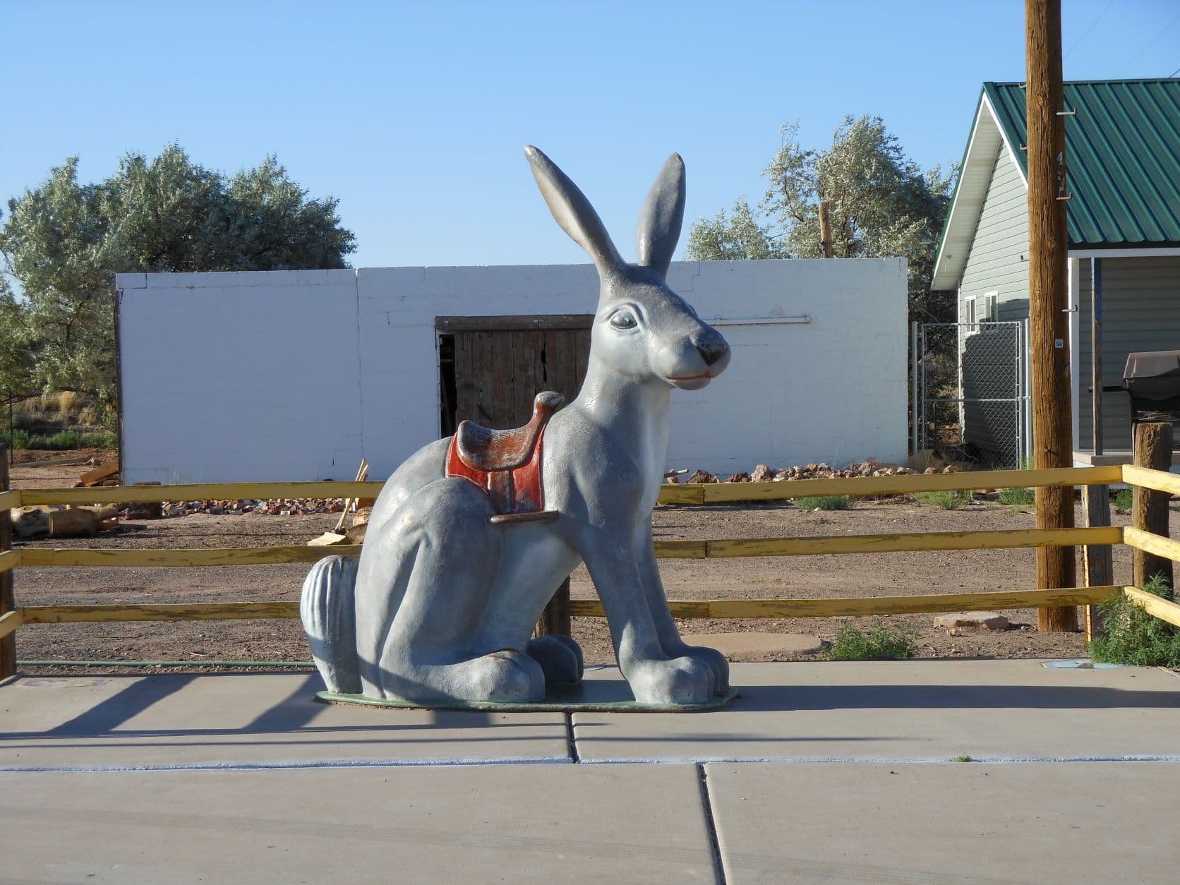
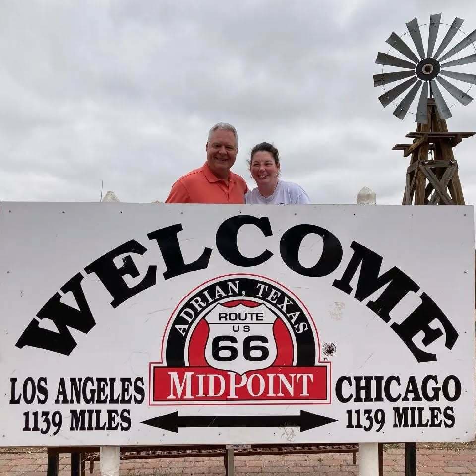
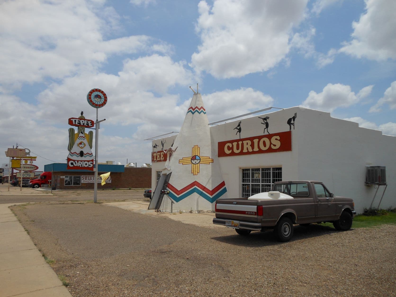
Yes. Use the city and state search on album pages to go directly to a location, such as Jackrabbit, Arizona; Adrian, Texas; or Tucumcari, New Mexico.

Not yet, but other travel albums are in the works, including national parks, cross-country drives, and weekend road trips beyond Route 66.

Use the Get in Touch link on the site, or visit Ted Wetekamp's X, Instagram, or LinkedIn profiles in the footer.

Route 66 was officially decommissioned as a U.S. highway in 1985 after being replaced by the Interstate Highway System. Many stretches still exist and are drivable as Historic Route 66, maintained as a heritage tourist route through local and state efforts.

Travelers can find vintage diners, motels, neon signs, and quirky roadside attractions from the highway's mid-20th-century heyday, including novelty statues, retro gas stations, and small-town Americana.

Ted Wetekamp, based in Houston, Texas, created and maintains the site.

The route spans roughly 2,400 miles across eight states: Illinois, Missouri, Kansas, Oklahoma, Texas, New Mexico, Arizona, and California.

Photos are grouped by state, then by town or stop along the route, such as Chicago in Illinois, St. Louis in Missouri, and Baxter Springs in Kansas.

Yes. The homepage offers Go West from Chicago and Go East from Santa Monica, so you can follow the journey in either direction.

Yes. Visitors with a favorite stretch of highway or trip idea are invited to get in touch, as new albums are always being considered.

No. This is a personal photo album and travel diary from one individual's road trip, not an official historical or tourism authority on Route 66.